


CT057-P01 · Photographs · 2012-03-25
Housatonic rail trail head 073
Pequonnock Valley & the Former Rail Corridor
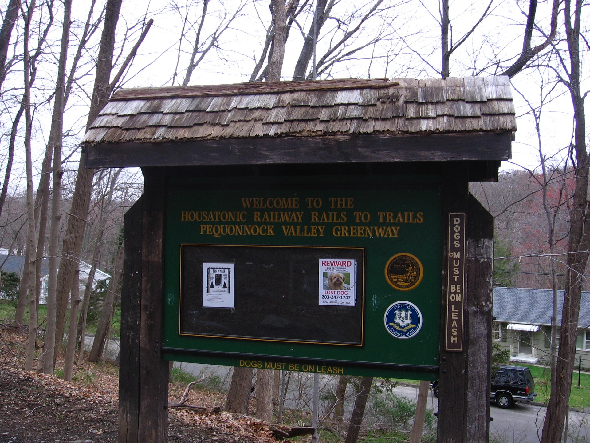
The sign at the head of the Housatonic Railway Pequonnock Valley Greenway in Trumbull, Connecticut.
Read item & source notesCOLLECTION 057 · SGC-CT057-057
Fairfield County · Railways & transit
The level path through the Pequonnock valley preserves the shape of a transportation route.
Former rail corridor reused for public trails
LOOK CLOSER · OPEN ANY IMAGE
2012-03-25
The sign at the head of the Housatonic Railway Pequonnock Valley Greenway in Trumbull, Connecticut.
2012-03-25
A section of the Housatonic Rail Trail in Trumbull along the Pequonnock River.
2012-03-25
The head of the Housatonic Railway Pequonnock Valley Greenway trail in Trumbull, Connecticut.
COLLECTION HISTORY
Trumbull identifies a flat 2.5-mile former railroad bed within its Pequonnock River Valley park. The wider trail project connects communities from Bridgeport toward Newtown, reusing former railroad land as walking and cycling routes. [CT057-S01]
The river valley also held water-supply infrastructure. Rail grades, river works and later recreation therefore occupy overlapping ground. A trail photograph is evidence of the corridor’s present form, while historic maps are needed to locate sidings, stations and former industrial connections. [CT057-S01]
A relatively level former rail bed offers a different experience from surrounding slopes and riverbanks. Trumbull's identification of a 2.5-mile section anchors this history in a particular local stretch, while the wider trail links several communities. The route's later use for walking and cycling is a new transportation and recreational chapter built on an older alignment. [CT057-S01]
Rail grades overlap with water-supply works and the river landscape. These features need individual identification: a stone wall in a trail photograph is not automatically a railway structure. Historical maps can show stations, industrial connections and sidings that a modern path conceals. Comparing the records explains both continuity and loss—people still move along the corridor, but its destinations, equipment and purposes have changed. A present trail view should retain its date rather than be used as evidence of railroad-era conditions. [CT057-S01]
Fairfield County · 3 included photographs
Research edition: September 12, 2026
THE SEARCHABLE CATALOG
Search includes catalog notes and the OCR text included with this edition. OCR may misread names or dates; use the original scan to verify a match.
CT057-P01 · Photographs · 2012-03-25
Pequonnock Valley & the Former Rail Corridor
The sign at the head of the Housatonic Railway Pequonnock Valley Greenway in Trumbull, Connecticut.
Read item & source notes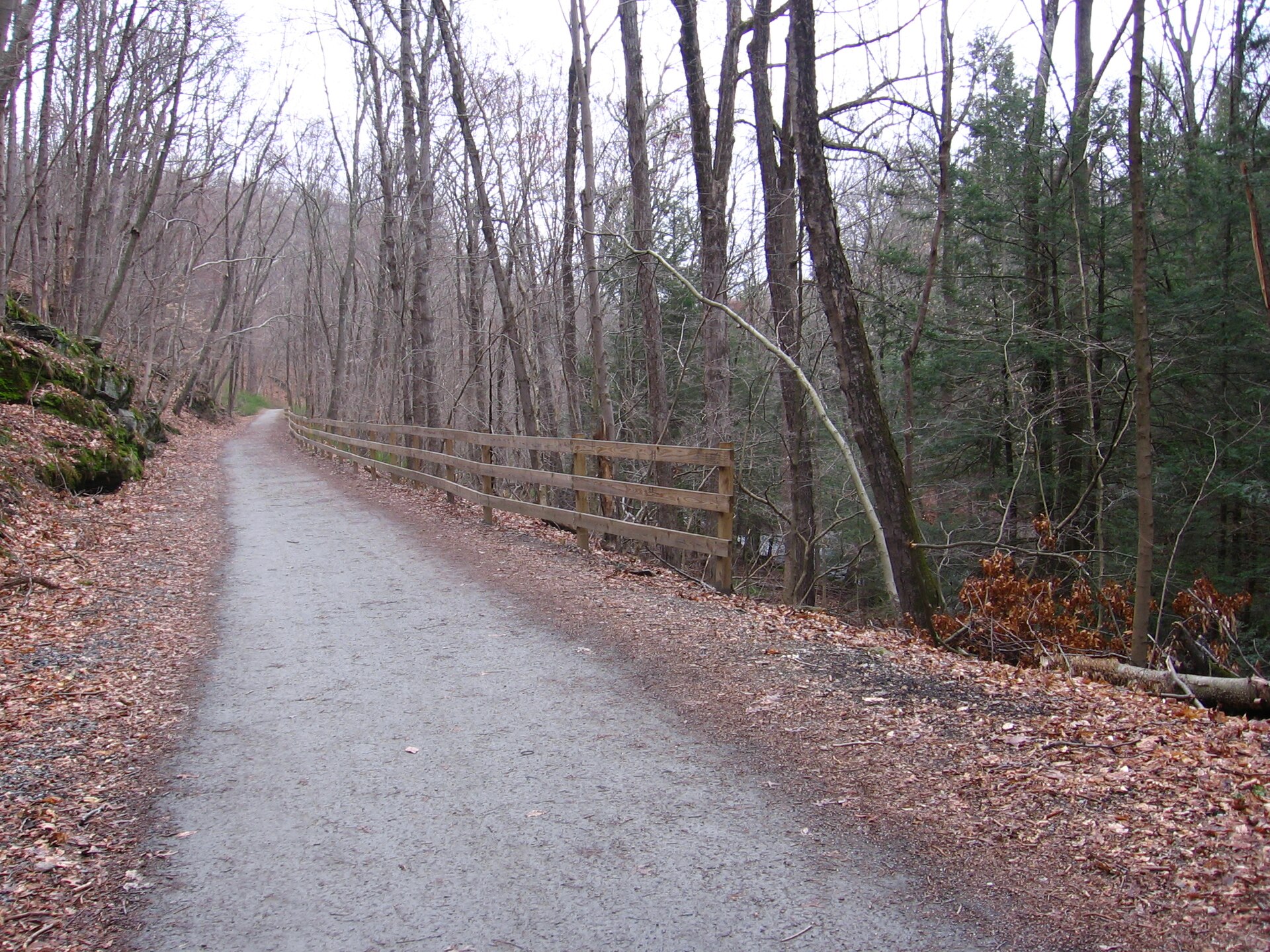
CT057-P02 · Photographs · 2012-03-25
Pequonnock Valley & the Former Rail Corridor
A section of the Housatonic Rail Trail in Trumbull along the Pequonnock River.
Read item & source notes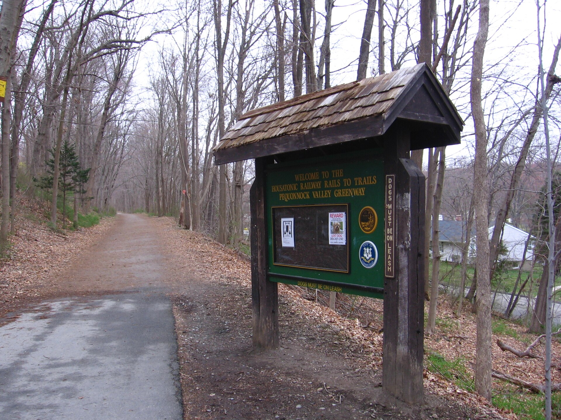
CT057-P03 · Photographs · 2012-03-25
Pequonnock Valley & the Former Rail Corridor
The head of the Housatonic Railway Pequonnock Valley Greenway trail in Trumbull, Connecticut.
Read item & source notesED-C-image-pass-052 · Photographs · February 2022
Pequonnock Valley & the Former Rail Corridor
The guide's dated photograph records surviving masonry beside the former railroad corridor.
Read item & source notesED-C-image-pass-053 · Photographs · February 2022
Pequonnock Valley & the Former Rail Corridor
A second photograph on the same page shows the ice-house foundation from the river side.
Read item & source notesED-C-image-pass-054 · Photographs · February 2022
Pequonnock Valley & the Former Rail Corridor
The guide locates this lodge 1.2 miles north of Tait Road in February 2022.
Read item & source notesED-C-image-pass-055 · Photographs · February 2022
Pequonnock Valley & the Former Rail Corridor
The guide records the displaced bridge 1.95 miles north of Tait Road in February 2022; this is a condition record, not current access advice.
Read item & source notesED-C-image-pass-056 · Photographs · Undated
Pequonnock Valley & the Former Rail Corridor
Contemporary view of ice house remains in the Pequonnock River Valley, identified by the gallery.
Read item & source notesED-C-image-pass-057 · Photographs · Undated
Pequonnock Valley & the Former Rail Corridor
Contemporary view of woolen mill remains in the Pequonnock River Valley, identified by the gallery.
Read item & source notesED-C-image-pass-058 · Photographs · Undated
Pequonnock Valley & the Former Rail Corridor
Contemporary view of cow tunnel remains in the Pequonnock River Valley, identified by the gallery.
Read item & source notesED-C-image-pass-059 · Photographs · Undated
Pequonnock Valley & the Former Rail Corridor
Contemporary view of farm bridge remains in the Pequonnock River Valley, identified by the gallery.
Read item & source notesExtract the ZIP and open START_HERE.html. It includes the catalog, selected images, acquired source text, credits and a searchable SQLite database. New photo additions are hosted in the SGC media library and require an internet connection; original bundled images remain available offline.