


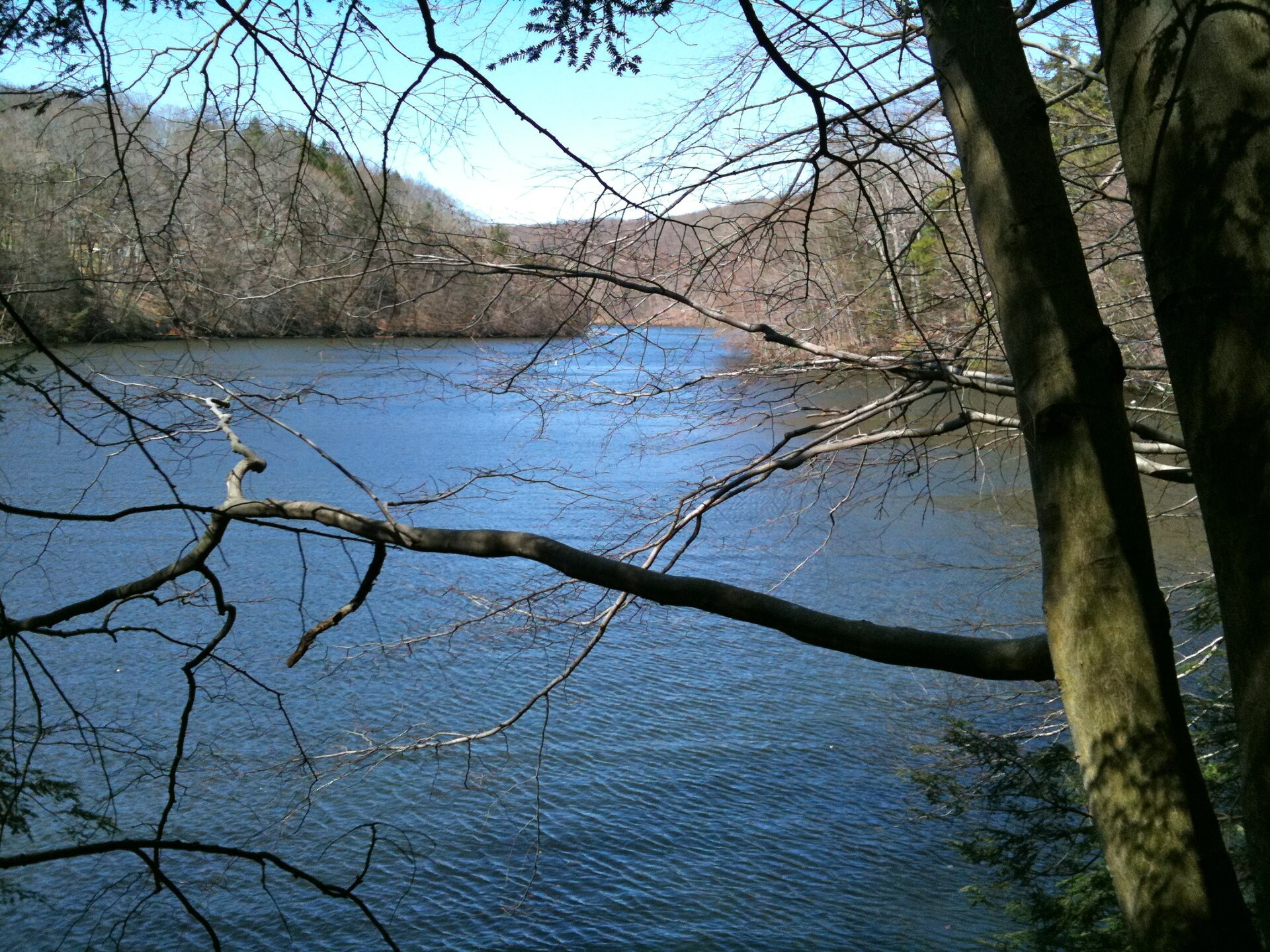
CT065-P01 · Photographs · Taken on 10 April 2010
LillinonahTrail PondBrookInlet
Paugussett State Forest
Lillinonah Trail.
Read item & source notesCOLLECTION 065 · SGC-CT065-065
Fairfield County · Historic lands
Woodland and river views invite questions about land use, conservation and what forests conceal.
Public forest in two separate blocks
LOOK CLOSER · OPEN ANY IMAGE
Taken on 10 April 2010
Lillinonah Trail.
Taken on 10 April 2010
Lillinonah Trail.
Taken on 10 April 2010
Lillinonah Trail.
2010-02-07
Ice-covered cascade at Prydden Falls. Frozen Prydden Falls above the mouth of Prydden Brook on Lake Zoar.
H. Morrow Long / Wikimedia Commons; creator's original upload or named collection
Original source · Reuse terms2010-02-07
Winter stream and lower falls area at Prydden Brook. Frozen falls at the Lake Zoar shore where Prydden Brook enters the lake.
H. Morrow Long / Wikimedia Commons; creator's original upload or named collection
Original source · Reuse termsCOLLECTION HISTORY
Paugussett State Forest lies in Newtown in two separate blocks. Connecticut’s forestry account dates Lower Block acquisitions from the 1940s and the acquisition of the Upper Block to 1969. The forest is managed for timber, habitat and recreation, connecting conservation with continuing work on the land. [CT065-S01] [CT065-S02]
A wooded view records present vegetation at the time of the photograph; it cannot establish that the land was always forest. Historical maps, deeds and archaeological evidence can help investigate earlier boundaries and uses. The forest’s Indigenous-derived name is a starting point for research, not a substitute for an Indigenous history of the area. [CT065-S01] [CT065-S02]
The Upper and Lower Blocks did not enter state ownership together. Acquisitions of the Lower Block began in the 1940s, while the Upper Block was acquired in 1969. These dates show a public forest assembled through decisions about particular parcels. They do not date the trees or establish that the land had always been wooded. [CT065-S01] [CT065-S02]
Timber management, habitat and recreation place continuing work within the forest's history. A photograph of a trail or stand of trees records the landscape at one moment, while deeds and historical maps may reveal earlier fields, boundaries or buildings. The name Paugussett also calls for research into Indigenous history using sources that actually address the people and place. The state forest and the separately named Paugussett Trail should not be merged merely because a search result uses the same word. [CT065-S01] [CT065-S02]
Fairfield County · 5 included photographs
Research edition: September 12, 2026
THE SEARCHABLE CATALOG
Search includes catalog notes and the OCR text included with this edition. OCR may misread names or dates; use the original scan to verify a match.
CT065-P01 · Photographs · Taken on 10 April 2010
Paugussett State Forest
Lillinonah Trail.
Read item & source notes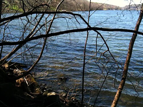
CT065-P02 · Photographs · Taken on 10 April 2010
Paugussett State Forest
Lillinonah Trail.
Read item & source notes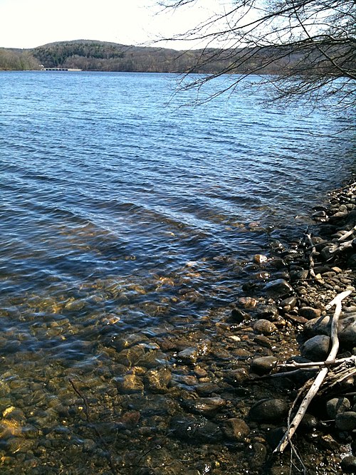
CT065-P03 · Photographs · Taken on 10 April 2010
Paugussett State Forest
Lillinonah Trail.
Read item & source notes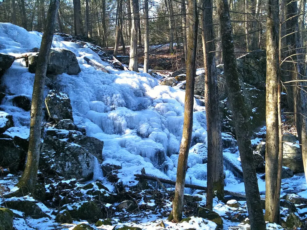
ED-C-image-pass-017 · Photographs · 2010-02-07
Paugussett State Forest
Ice-covered cascade at Prydden Falls. Frozen Prydden Falls above the mouth of Prydden Brook on Lake Zoar.
Read item & source notes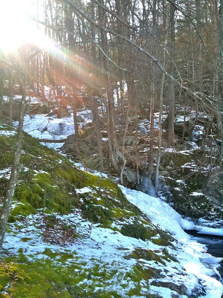
ED-C-image-pass-018 · Photographs · 2010-02-07
Paugussett State Forest
Winter stream and lower falls area at Prydden Brook. Frozen falls at the Lake Zoar shore where Prydden Brook enters the lake.
Read item & source notesExtract the ZIP and open START_HERE.html. It includes the catalog, selected images, acquired source text, credits and a searchable SQLite database. New photo additions are hosted in the SGC media library and require an internet connection; original bundled images remain available offline.