
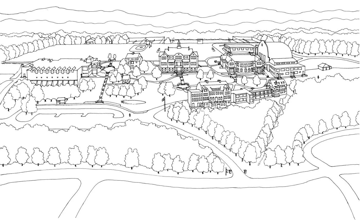
Drawn perspective map of Hopkins campus. The map records the hilltop campus in 2006, with Forest Road along its lower edge.
Evidence, credit & reuse: New item; a historical campus-state map, not a current visitor map. License https://creativecommons.org/licenses/by-sa/3.0/ A line map/illustration, not a photograph. Display copy optimized for the web with proportional resizing and compression. The linked repository identifies the original image. Reuse: CC BY-SA 3.0; explicit GFDL release reproduced on source page
Source: Eric W. Mueller / Shoemaker Design; Wikipedia
Cite this item
Silent Grounds Collective, Hopkins School, New Haven, SGC-NHHS-030, ED-L-HOP-ADD-002, “Hopkins campus map.” Source: Eric W. Mueller / Shoemaker Design; Wikipedia. https://en.wikipedia.org/wiki/File:Hopkins_campus_map_01.JPG. Research edition, accessed 2026-09-12.