
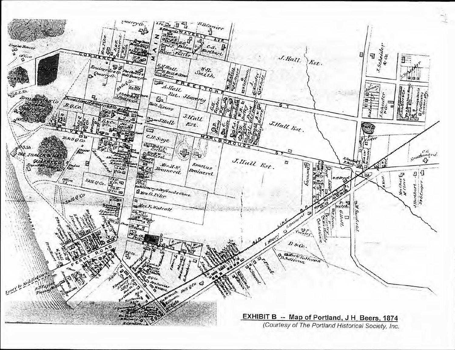
An 1874 map records the Brainerd properties on the south side of Marlborough Street, decades before the hospital. The National Register nomination reproduces this map as Exhibit B.
Evidence, credit & reuse: Public domain underlying 1874 map; faithful scan. National Register nomination, PDF page 15, Exhibit B; courtesy Portland Historical Society. Map supplies geographic context, not a photograph. Retains original exhibit label. Full map source attribution has not been checked against the original atlas title page. Proportional resize and JPEG optimization only. Created: 1874. Published: 1874 original; reproduced in June 2011 nomination
Source: J. H. Beers, as credited by the nomination
Cite this item
Silent Grounds Collective, Elmcrest Hospital & the Colt Connection, SGC-EC-016, EC-006, “Portland property map, 1874.” Source: J. H. Beers, as credited by the nomination. https://npgallery.nps.gov/NRHP/GetAsset/NRHP/12000130_text#page=15. Research edition, accessed 2026-09-08.